Topographic Survey Services


Topographic Surveys – Your Key Questions Answered
As a trusted provider of professional topographic surveying services, we specialize in delivering precise land and infrastructure mapping for residential, commercial, and industrial projects. Our commitment is to provide accurate, reliable data to support planning, design, and development, ensuring efficiency and informed decision-making.
Topographic surveys provide a highly detailed representation of land features, elevations, and existing infrastructure, ensuring accuracy in site planning and construction. By capturing precise data on gradients, natural features, and built structures, our surveys help engineers, architects, and developers make informed decisions, reducing risks and improving project outcomes.
A topographic survey captures key land features such as contours, elevations, vegetation, drainage patterns, roads, and existing utilities. This data is essential for various applications, including construction planning, infrastructure development, flood risk assessment, and environmental management. We customize each survey to meet the specific needs of your project.
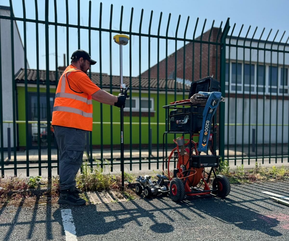
Topographic surveys are conducted using advanced GPS and surveying equipment, making them a non-invasive and efficient process. Our team works methodically to ensure minimal disruption while collecting accurate data, making it a preferred solution for projects that require precise site analysis without any impact on the existing environment.
Choosing RA Utility Solutions for your topographic survey ensures accuracy, reliability, and expert analysis. Our high-quality data supports better planning, reduces costly mistakes, and enhances project efficiency. Additionally, we can integrate drainage assessments, including CCTV and GPS-based mapping, to provide a complete picture of your site’s infrastructure. Whether you’re planning a new development, assessing land conditions, or managing an existing property, our services provide the precise information you need to move forward with confidence.
GPS Drain Mapping Services Are What We Do Best