CAD & GPS Mapping
Drainage Issue?
Drainage Issue?
GPS Drain Mapping – Your Key Questions Answered
As a trusted and professional drainage service provider, we specialize in conducting drain surveys for residential and commercial properties alike. Our commitment lies in addressing all your drainage concerns, regardless of their scale. With a team of experienced and certified experts at the ready, we guarantee the assistance you require.
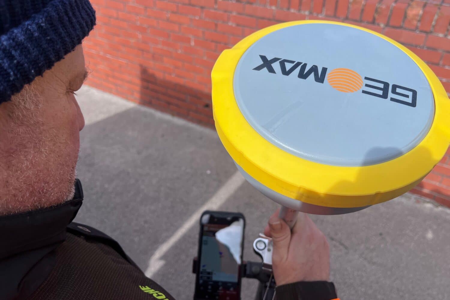
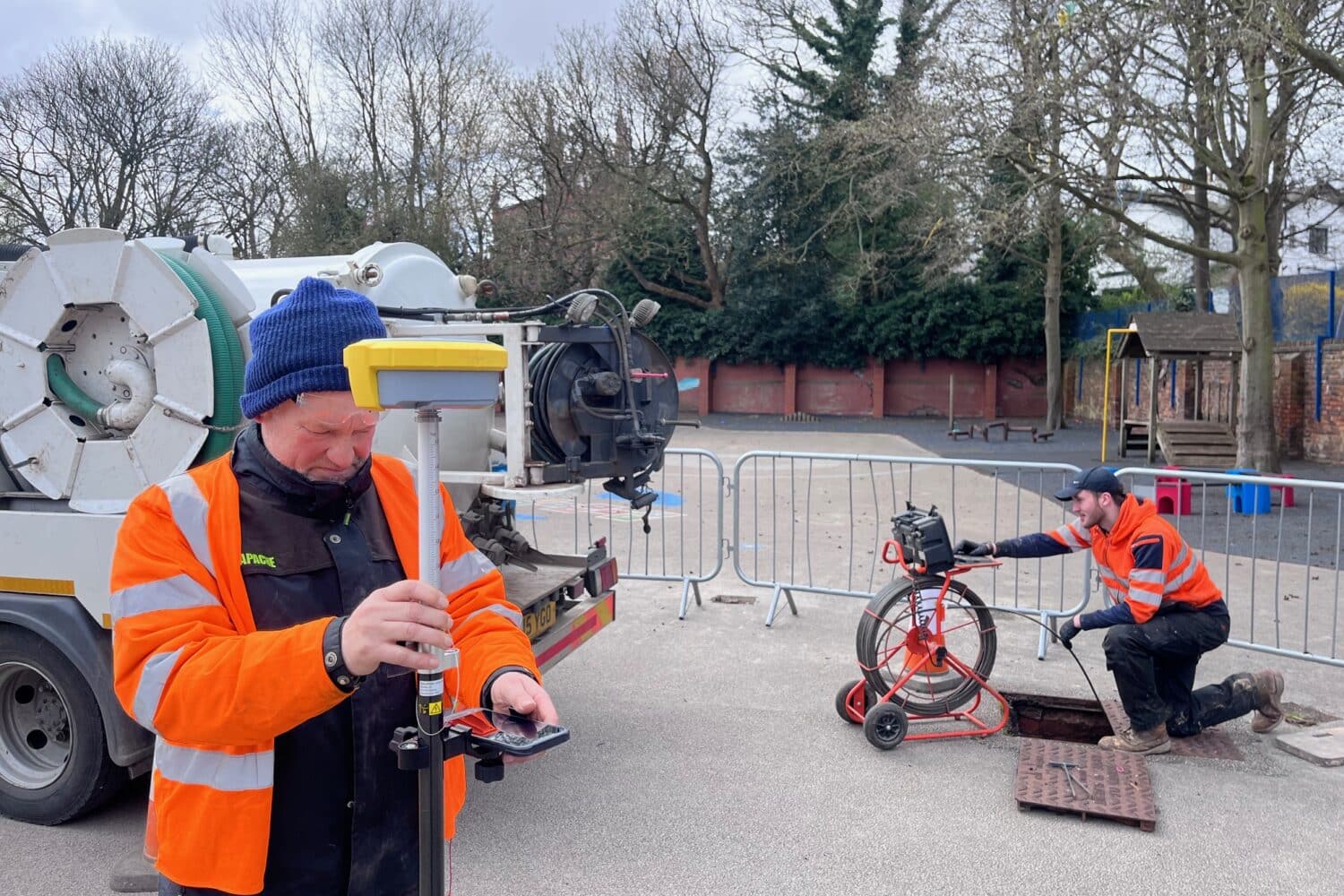
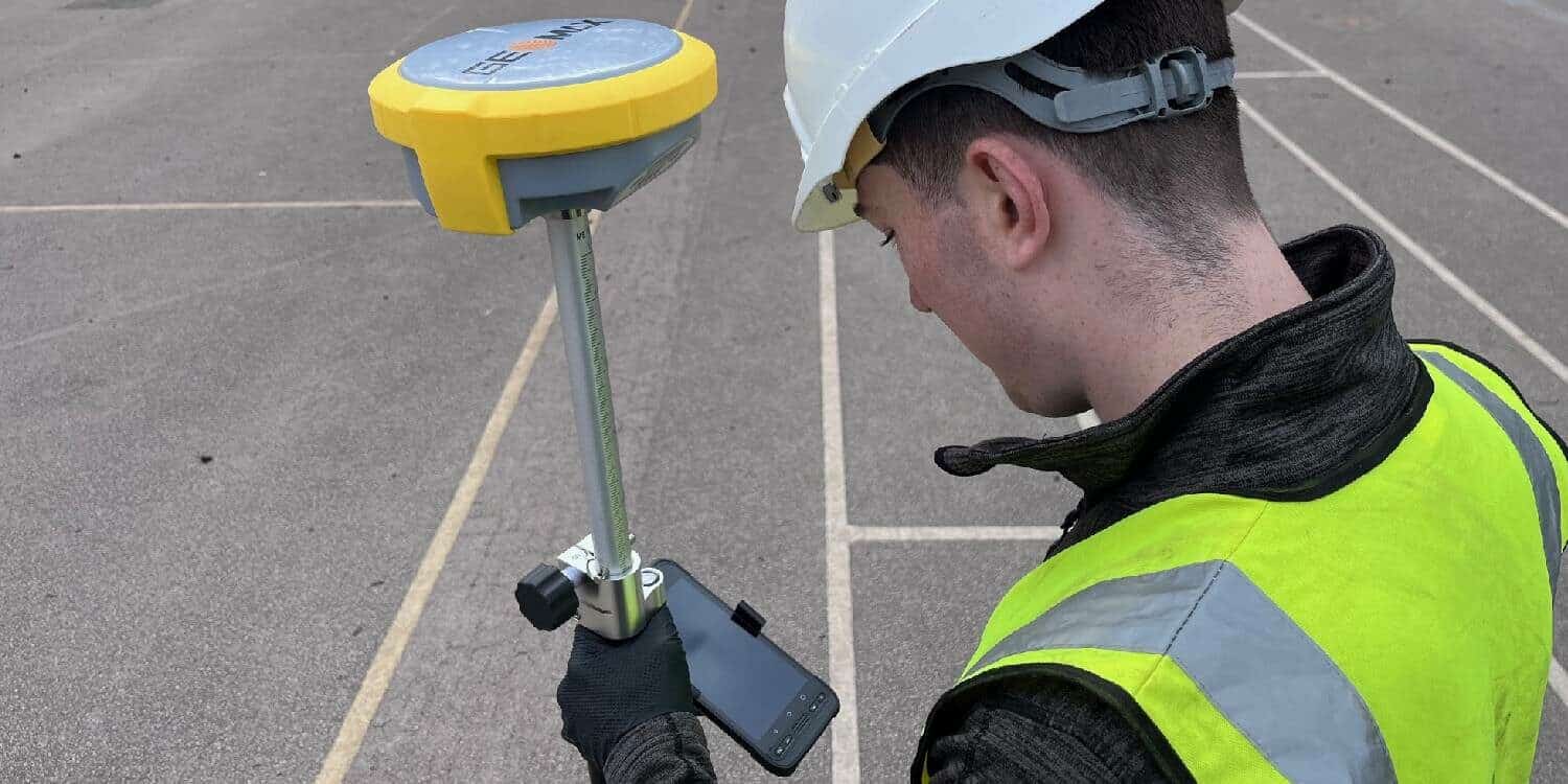
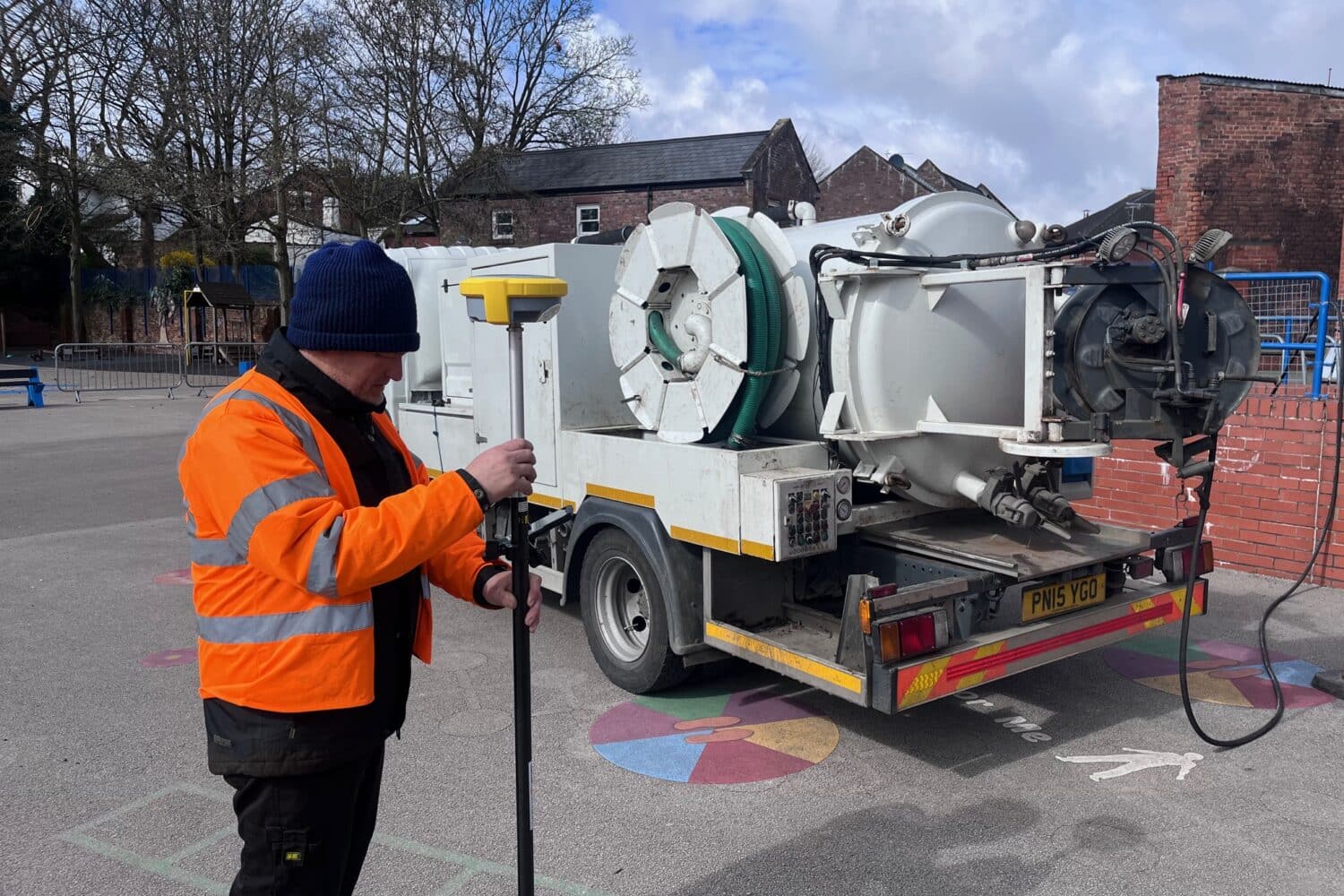
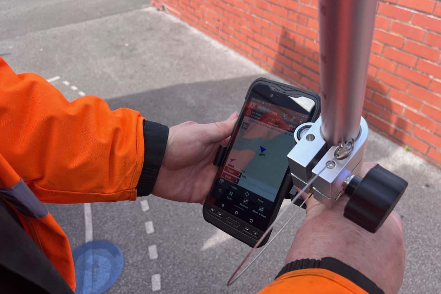
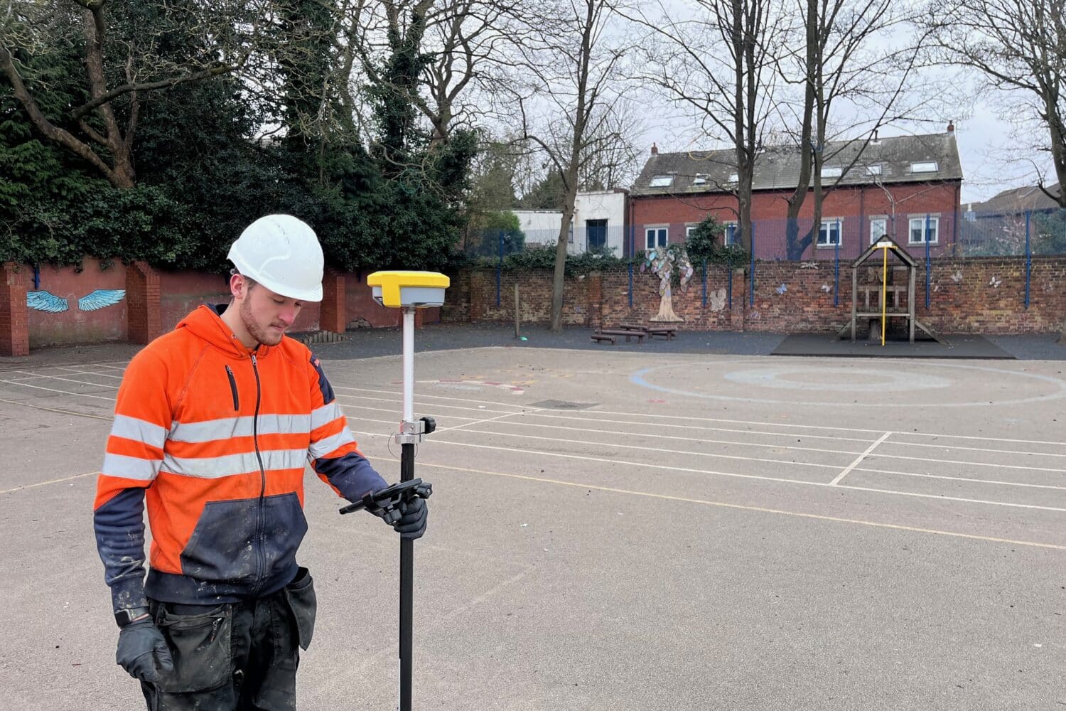
GPS drain mapping allows RA Utility Solutions to achieve unparalleled accuracy in drain surveys by utilising state-of-the-art GPS technology to map drainage systems precisely. This method ensures that we can locate drains, identify issues, and assess the overall condition of the drainage system with exacting detail, providing a solid foundation for any necessary maintenance or repairs.
GPS drain mapping is particularly effective in identifying a range of drainage problems, including blockages, pipe damage, misalignments, and wear due to age or environmental factors. This technology also excels in mapping out the layout of complex drainage systems, which is critical in planning for construction, renovation, or extensive repairs.
One of the major advantages of GPS drain mapping is its non-invasive nature. Unlike traditional methods that might require excavation to inspect or repair drains, GPS mapping is performed above ground, causing no disruption to your property. This approach saves time and avoids the potential damage associated with digging, making it a highly preferred option for both residential and commercial properties.
GPS Drain Mapping Services Are What We Do Best
